[three_fourths]
As the fourth talk in the Early Career Research Talks series, Mike Duggan will give a presentation entitled ‘Digital geo-visualisations and the cultural politics of urban (re)development’.
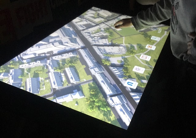
Urban (re)development in the UK and elsewhere is increasingly aided by various geo-visualisations including digital maps, 3D models, simulations and smart city dashboards. Though geographers and others have begun to examine the impact that these visual technologies are having, much of this work has approached the topic from a top-down and decidedly technical perspective. Few have explored how geo-visualisations might affect the social and cultural geographies of the city using qualitative approaches that engage with the various people, groups and organisations using them. This talk will examine what geo-visualisations are currently being used for, what their potential is and what varying impacts they have on the everyday lives of planners, policy makers, and citizens engaged in urban (re)development. Ultimately, the talk aims to outline a research project for exploring how digital geo-visualisations are encountered and experienced by everyday practitioners in order to guide the impact(s) they might have on future planning and governance.
[/three_fourths]
[one_fourth_last]